Ama Dablam
Go back and do the work you owe
- Country
- NepalKhumbu Valley, Nepal
- Duration
- 26–30 daysSeason Four
- Grade
- Serious 4AGet High scale
- Max altitude
- 6,812 m22,349 ft
- Daily activity
- Approx 7–10 hours, 14 on summit day
- Season
- Oct–Nov
- Skill required
- Technical rock and ice at altitude
- Months on the plan
- Two monthsof 24 planned
Everything up to here you could have talked your way through. You cannot talk your way up this, and that is precisely why it is the one worth having.
What you are walking into
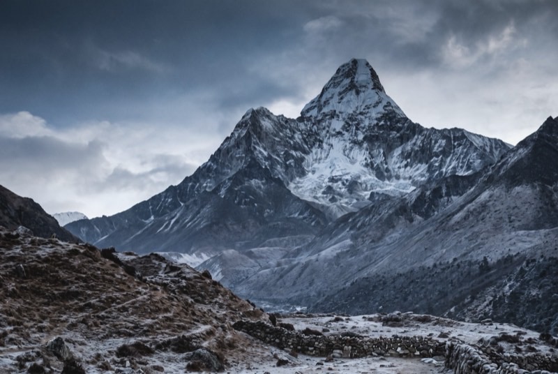
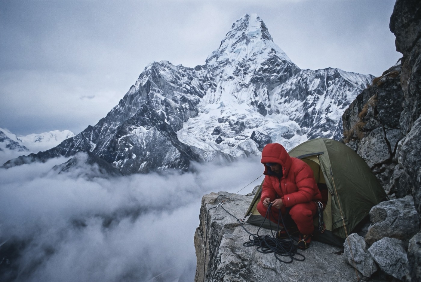
The southwest ridge is a proper alpine route — granite slabs, the Yellow Tower, the Grey Tower, a mushroom ridge of unconsolidated snow, and Camp 2 pitched on a shelf you would not park a motorbike on.
The dablam is the hanging glacier below the summit, the pendant that gives the mountain its name and the objective hazard that decides the season for everyone on it, regardless of who they are or what they paid.
What it takes out of you
By now there are people at home who have heard you promise things before. They are politely waiting to see whether this is the same as last time, and you cannot fix that with a phone call or a cheque.
You fix it by actually being able to climb — because you did the four peaks below this one, in order, and learned something on each. Amends are not an apology. They are the evidence. This mountain is the first piece of it anyone will believe.
The logistics
- Duration
- 26–30 days
- Skill required
- Technical rock and ice at altitude
- Season
- Oct–Nov
The climb profile
Left, elevation only: no horizontal axis, so its width means nothing. Right, air: bar length is the one thing here that does.
- Base camp
- Base Camp, 4,600 msource
- Summit
- Summit, 6,812 msource
- Vertical, base camp to summit
- 2,212 mthe difference of the two elevations above, nothing more
- Horizontal distance
- Not yet sourcedNo operator route description, alpine club record or mountaineering reference we could find states it for this route. It is not estimated here.
- Cumulative ascent
- Not yet sourcedThe up-and-down of the whole route, which is more than the vertical above. Nobody publishes it for any of the twelve.
Camps, by elevation: Camp 1 5,700 m source · Camp 2 6,080 m source. Where each one sits along the route is not sourced, so each is drawn as a rule across the chart rather than placed on it.
The base camp figure is the weakest on the ladder: 4,529 m, 4,600 m and 4,750 m are all in operator use, a 220 m spread. Treat 4,600 m as approximate. The summit is also disputed — 6,812 m is the surveyed figure, but 6,856 m is stubbornly common in operator copy, including on the page cited above for the base camp. Camp elevations differ by about 100 m between operators.
The highest camp is Camp 2, 6,080 m, where the air is 48% of what it is at sea level. The tent was carried up there. The air was not.
The part we will not lie about
A serious mountain with a serious fatality record, much of it from serac collapse that no amount of skill or budget prevents. Competent, well-funded teams turn around here every single season, and going home is the correct decision far more often than it is made.
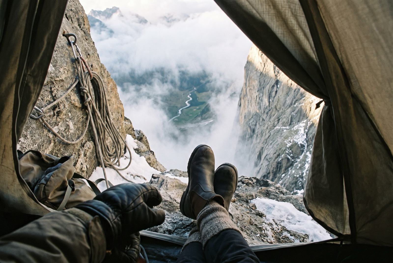
Who you do it with
Steep enough that competence stops being optional. The gap between what you can actually do and what you have paid for closes on this step, and somebody has to be willing to tell you where you really are on that.
What the word means, and where it came from$2,400,000 at the plan's pace — $100,000 a month, charged monthly, for as long as it takes. All twelve steps. One client at a time.
Request a call