Annapurna Base Camp
Lose an argument you could have won
- Country
- NepalAnnapurna Sanctuary, Nepal
- Duration
- 10–12 daysSeason Two
- Grade
- Moderate 2AGet High scale
- Max altitude
- 4,130 m13,550 ft
- Daily activity
- Approx 5–7 hours walking
- Season
- Oct–Nov, Mar–Apr
- Skill required
- Trekking fitness
- Months on the plan
- One monthof 24 planned
Everyone around you has said yes for a decade. This is the first no you cannot buy your way past, and it comes from a man earning less in a season than you spend on dinner.
What you are walking into
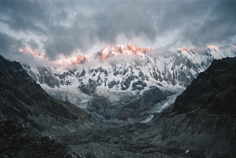
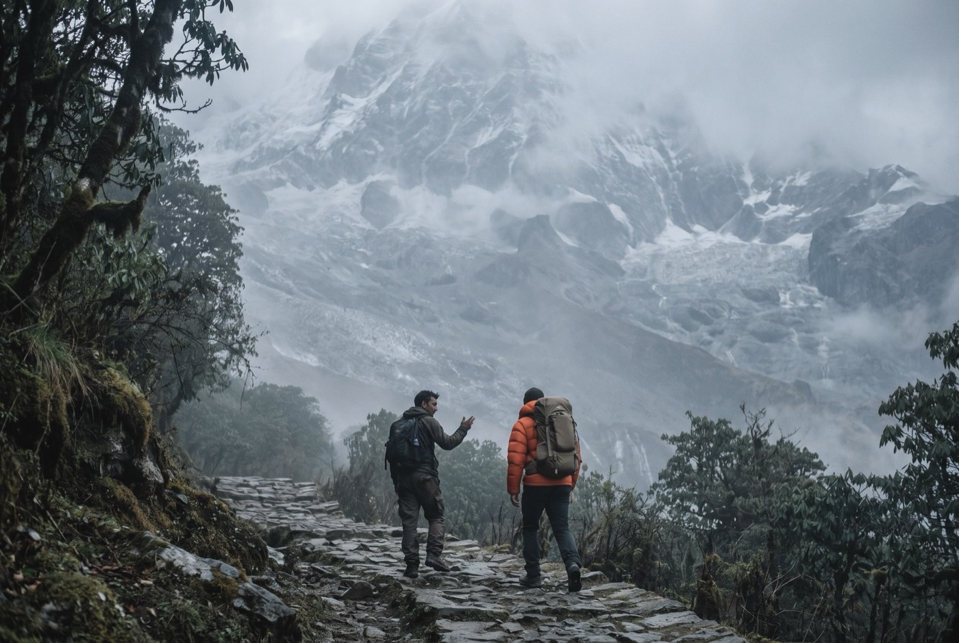
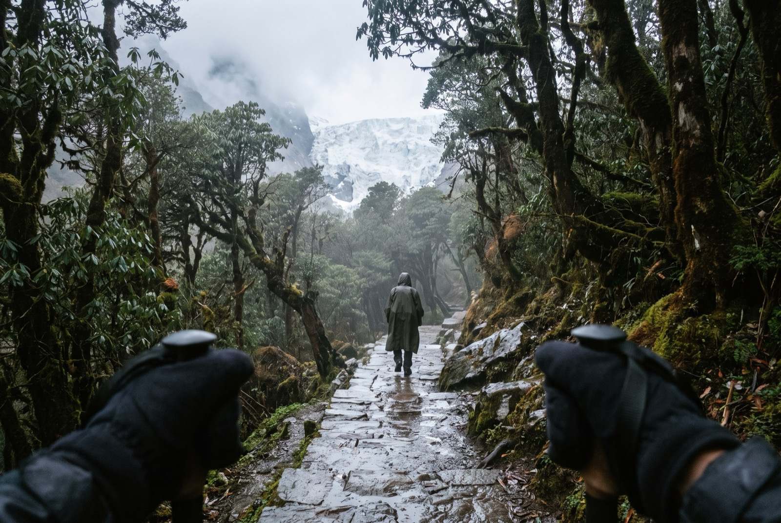
Ten days on foot into a ring of 7,000 m peaks with one way in and one way out. Rhododendron forest, terraced villages, and then the walls close and the sky becomes a circle directly above you. You sleep indoors, you eat the same meal twice a day, and by day six you look forward to it — which will surprise you more than the mountains do.
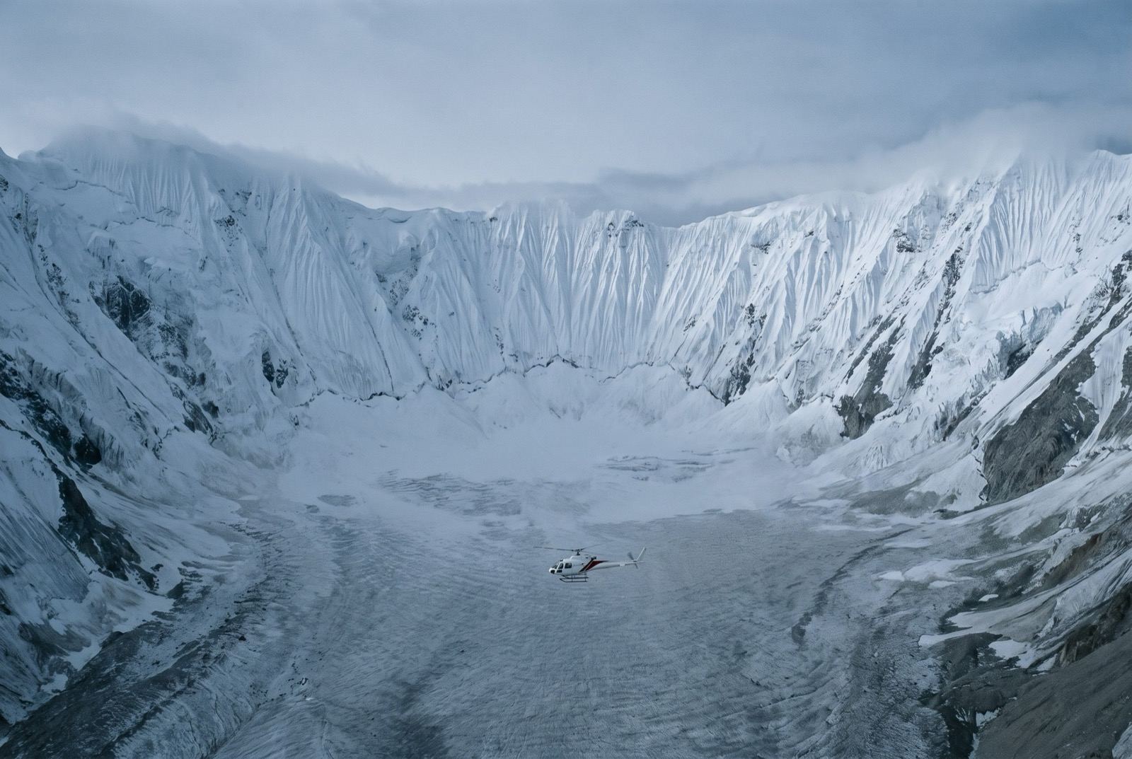
Nothing here is technical. It tops out at 4,130 m, which is exactly high enough to put a fit, impatient, extremely well-financed man in a helicopter the moment he decides the schedule is a suggestion.
What it takes out of you
You are very good at getting your way. It is arguably the skill that got you this far, and up here it is the single thing most likely to hurt you.
Altitude does not negotiate, cannot be flattered, has never heard of you and will not take a call from your lawyer. For the first time in years something outside you is in charge and is not wrong about it. Notice how much you hate that. Then do what the man says.
The logistics
- Duration
- 10–12 days
- Skill required
- Trekking fitness
- Season
- Oct–Nov, Mar–Apr
The trek profile
Left, elevation only: no horizontal axis, so its width means nothing. Right, air: bar length is the one thing here that does.
- Start
- Nayapul, 1,070 msource
- Finish
- Annapurna Base Camp, 4,130 msource
- Vertical, start to finish
- 3,060 mthe difference of the two elevations above, nothing more
- Horizontal distance
- Not yet sourcedNo operator route description, alpine club record or mountaineering reference we could find states it for this route. It is not estimated here.
- Cumulative ascent
- Not yet sourcedThe up-and-down of the whole route, which is more than the vertical above. Nobody publishes it for any of the twelve.
Only round-trip distances are published, and they disagree badly — 70–120 km depending on the source, because the road head keeps moving and some itineraries add Poon Hill. Halving a round trip to get one way would be our inference, not a citation. Some operators start at Tikhedhunga (1,577 m) rather than Nayapul.
The highest point is Annapurna Base Camp, 4,130 m, where the air is 62% of what it is at sea level. Everything you carry gets there. The air does not.
The part we will not lie about
Altitude sickness does not care about your fitness, your age or your balance sheet. It begins around this height and the only reliable treatment is going back down. Learn the symptoms before you get on the plane.
Who you do it with
First real altitude, and the first time your body argues back. Everyone else in that valley is paid to keep you comfortable. He is the one with nothing to sell you at the end of the day, which is why he is the one you end up telling.
What the word means, and where it came from$2,400,000 at the plan's pace — $100,000 a month, charged monthly, for as long as it takes. All twelve steps. One client at a time.
Request a call