Mera Peak
Look at what you have already done
- Country
- NepalHinku Valley, Nepal
- Duration
- 18–21 daysSeason Three
- Grade
- Technical 3CGet High scale
- Max altitude
- 6,476 m21,247 ft
- Daily activity
- Approx 6–8 hours, 12 on summit day
- Season
- Oct–Nov, Apr–May
- Skill required
- Glacier travel, roped team
- Months on the plan
- Two monthsof 24 planned
This is the first day of your life where the evidence is on your side and there is no arguing with it.
What you are walking into
Nepal's highest trekking peak, in a valley remote enough that there is no comfortable way out of it. You cross the Zatrwa La to get in, and after that the Hinku has almost no infrastructure and no quick exit — which means that for three weeks, nobody is coming to sort anything out on your behalf.
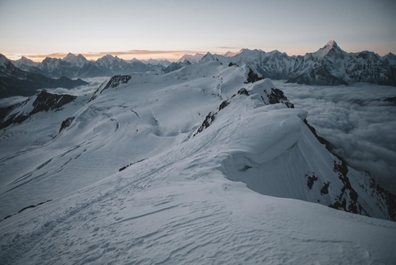
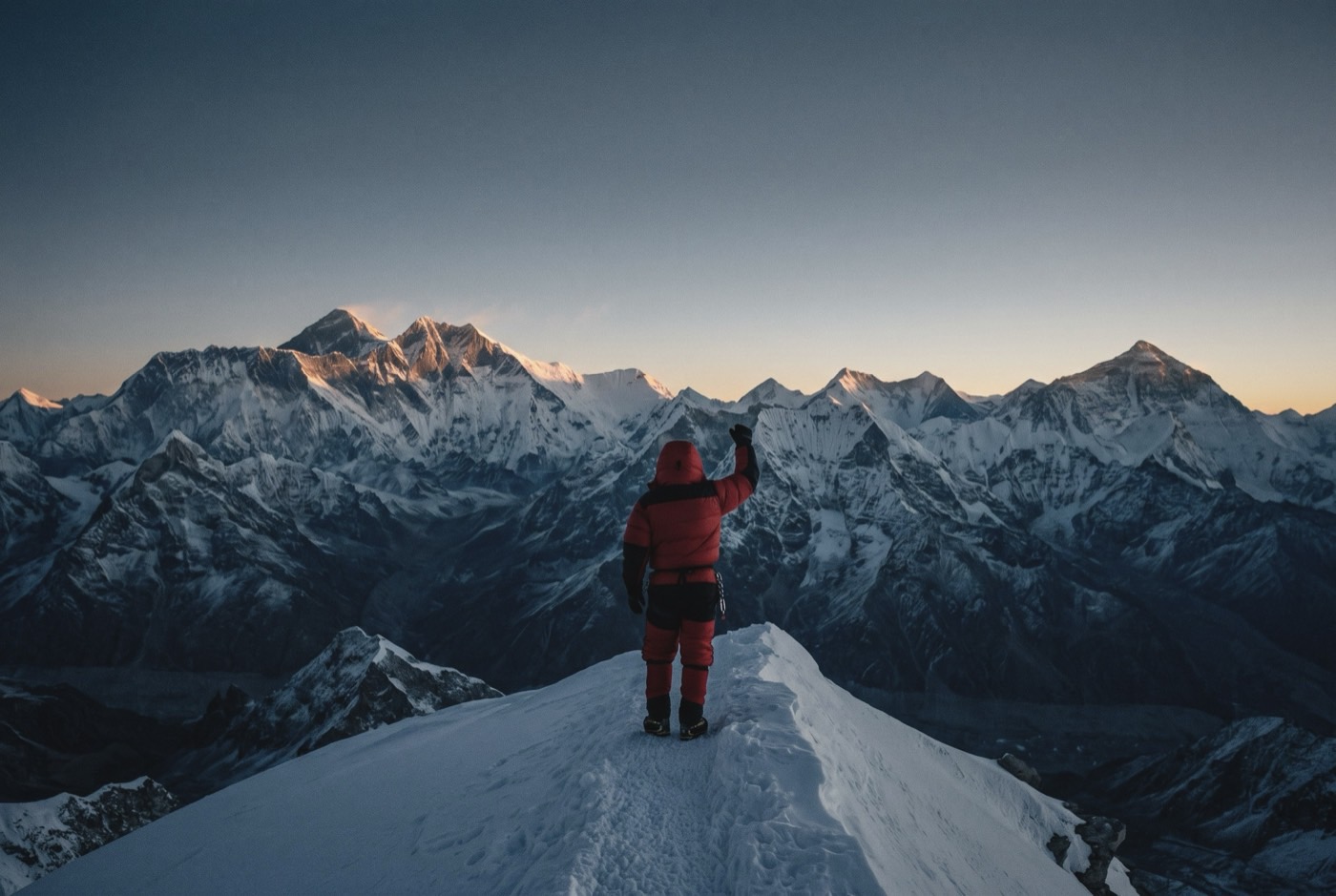
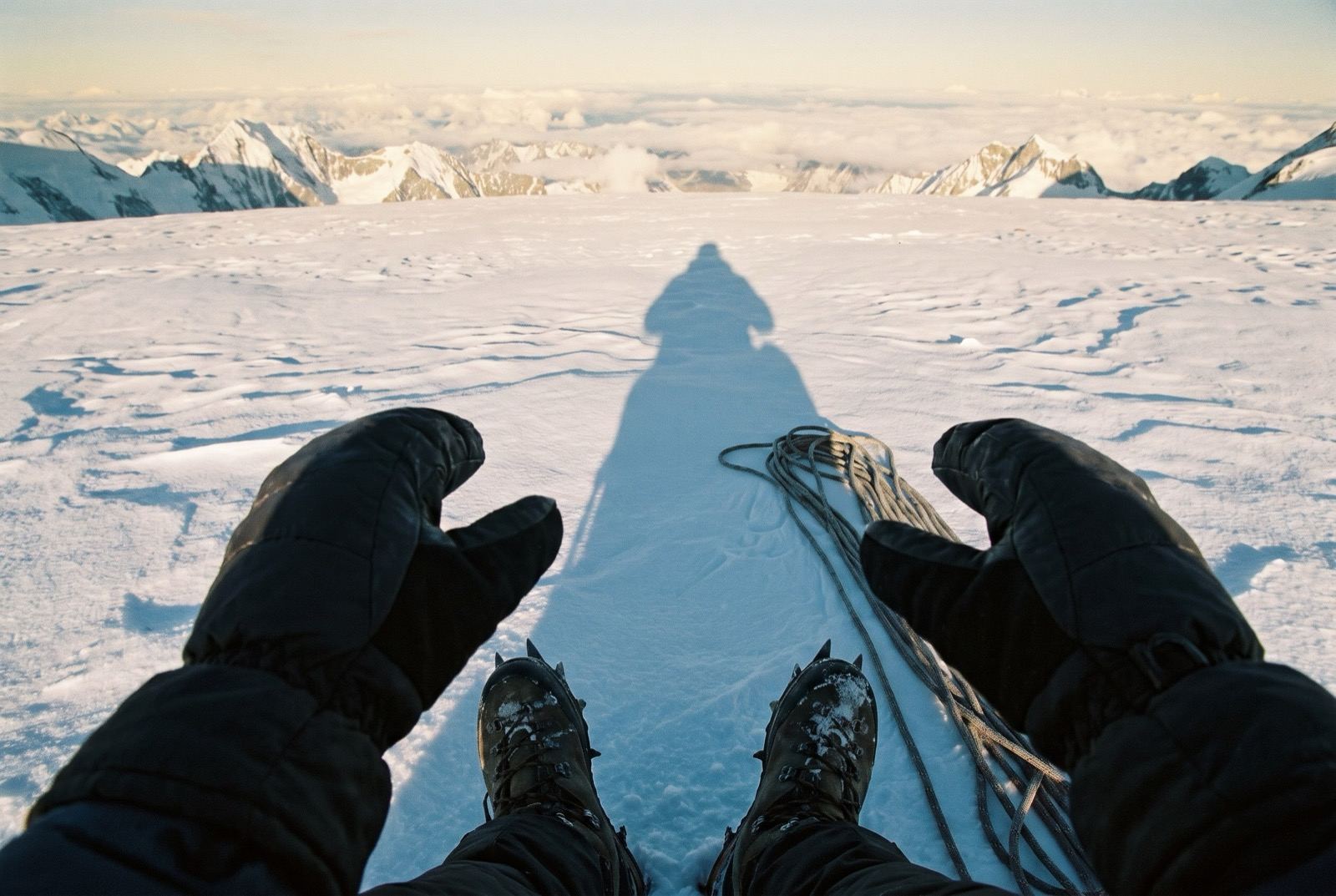
The climbing is a long glacier plod with one short steep step below the summit. The payment is what you can see from it at first light, from under seven thousand metres: the entire back half of this list laid out in one line in front of you.
What it takes out of you
Everybody told you what you had thrown away. Nobody ever showed you the other column. This is the other column: six steps, and five of the world's highest mountains in your eyeline — every one of them now reachable from where you are standing.
Write the list here. The people, the years, the things you will have to go back and put right. You are not yet strong enough to do any of it. Willingness comes first; capability is the next six steps.
The logistics
- Duration
- 18–21 days
- Skill required
- Glacier travel, roped team
- Season
- Oct–Nov, Apr–May
The climb profile
Left, elevation only: no horizontal axis, so its width means nothing. Right, air: bar length is the one thing here that does.
- Base camp
- Khare, 4,985 msource
- Summit
- Mera North summit, 6,476 msource
- Vertical, base camp to summit
- 1,491 mthe difference of the two elevations above, nothing more
- Horizontal distance
- Not yet sourcedNo operator route description, alpine club record or mountaineering reference we could find states it for this route. It is not estimated here.
- Cumulative ascent
- Not yet sourcedThe up-and-down of the whole route, which is more than the vertical above. Nobody publishes it for any of the twelve.
Camps, by elevation: High Camp 5,800 m source. Where each one sits along the route is not sourced, so each is drawn as a rule across the chart rather than placed on it.
Mera has three summits: Mera North 6,476 m, Mera Central 6,461 m and Mera South 6,065 m. 6,476 m is Mera North. No source we found states which summit a commercial ascent tops out on, so that is not claimed here. The 6,654 m figure on the official trekking-peak list is a known error — it belongs to Peak 41. Operators also disagree on what “base camp” means: Khare at 4,985–5,000 m, or a higher camp at 5,350 m.
The highest camp is High Camp, 5,800 m, where the air is 50% of what it is at sea level. The tent was carried up there. The air was not.
The part we will not lie about
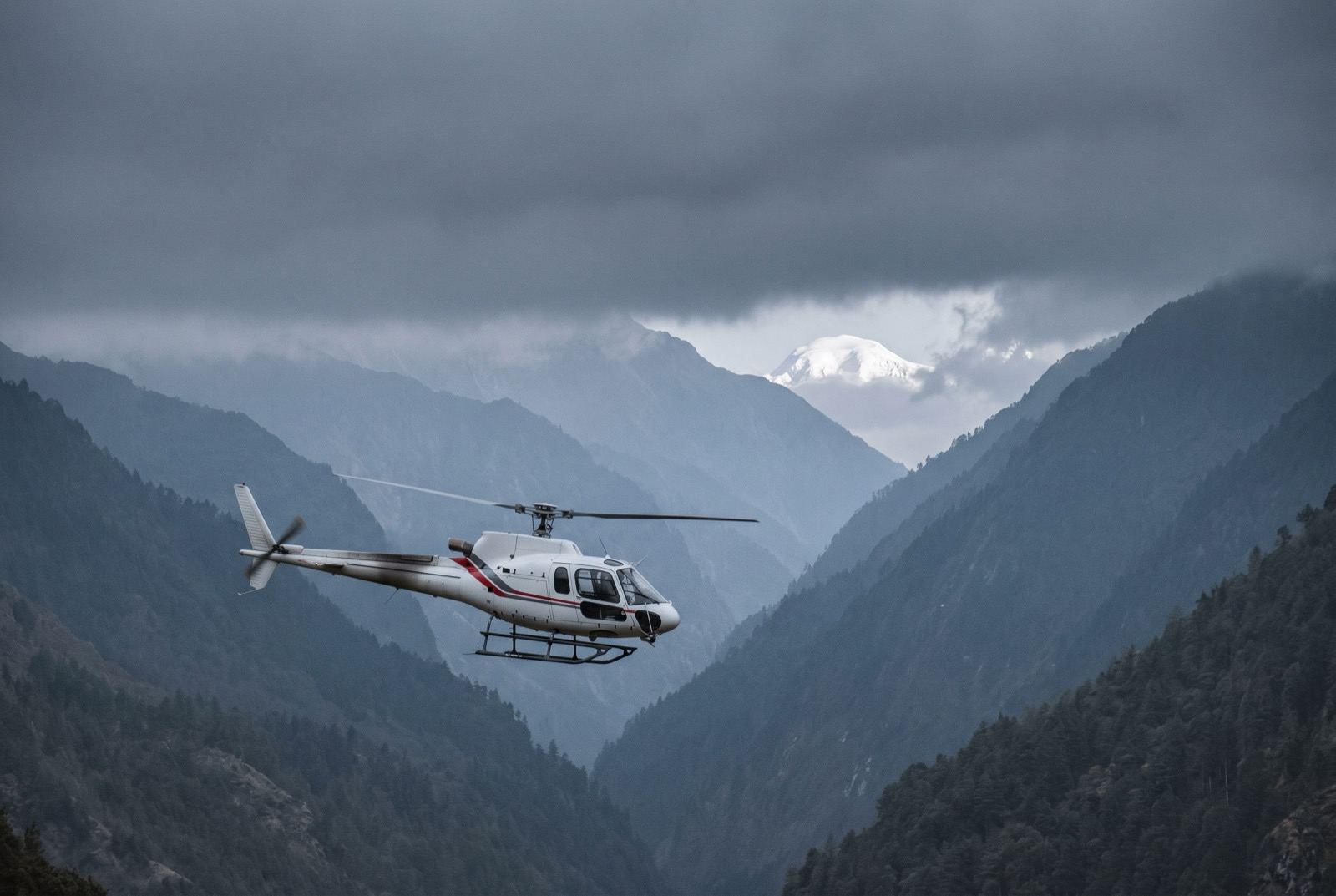
The Hinku is remote enough that evacuation is slow and entirely weather-dependent. This is the first step where genuine self-sufficiency matters more than being fast, and where a helicopter is a hope rather than a plan.
Who you do it with
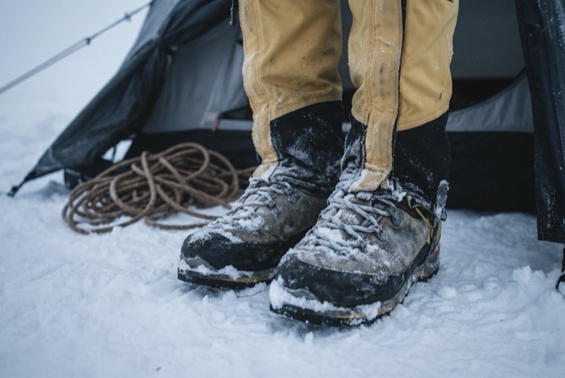
Long, cold and unphotogenic. Nothing about this one flatters you, which makes it the first honest reading of whether you are doing this or being carried up it.
What the word means, and where it came from$2,400,000 at the plan's pace — $100,000 a month, charged monthly, for as long as it takes. All twelve steps. One client at a time.
Request a call