Mount Everest
Get down, go home, pick up the phone
- Country
- Nepal / TibetSagarmāthā / Chomolungma, Nepal–Tibet border
- Duration
- 55–65 daysSeason Six
- Grade
- Extreme 5BGet High scale
- Max altitude
- 8,849 m29,032 ft
- Daily activity
- Approx 6–12 hours, 18 on summit day
- Season
- Apr–May
- Skill required
- 8,000 m experience
- Months on the plan
- Five monthsof 24 planned
The summit is the halfway point. Almost everyone who died up there died on the way down, or in the act of refusing to start down.
What you are walking into
Through the Khumbu Icefall before dawn, over and over, on rotations. Up the Western Cwm, up the Lhotse Face, across the Geneva Spur to the South Col — the highest campsite on earth, a plain of wind-scoured rock where nothing has ever grown.
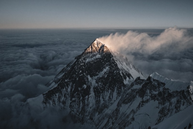
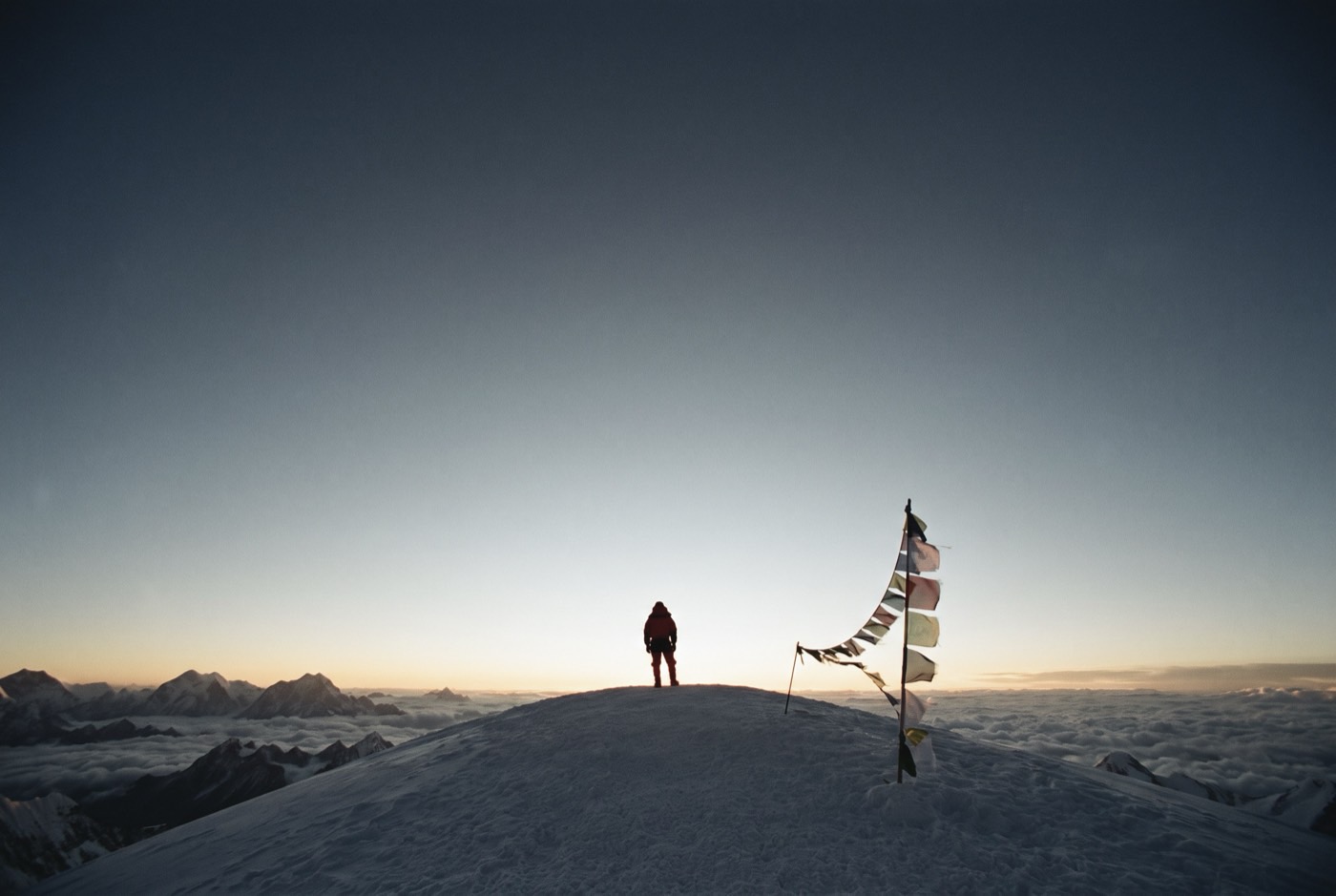
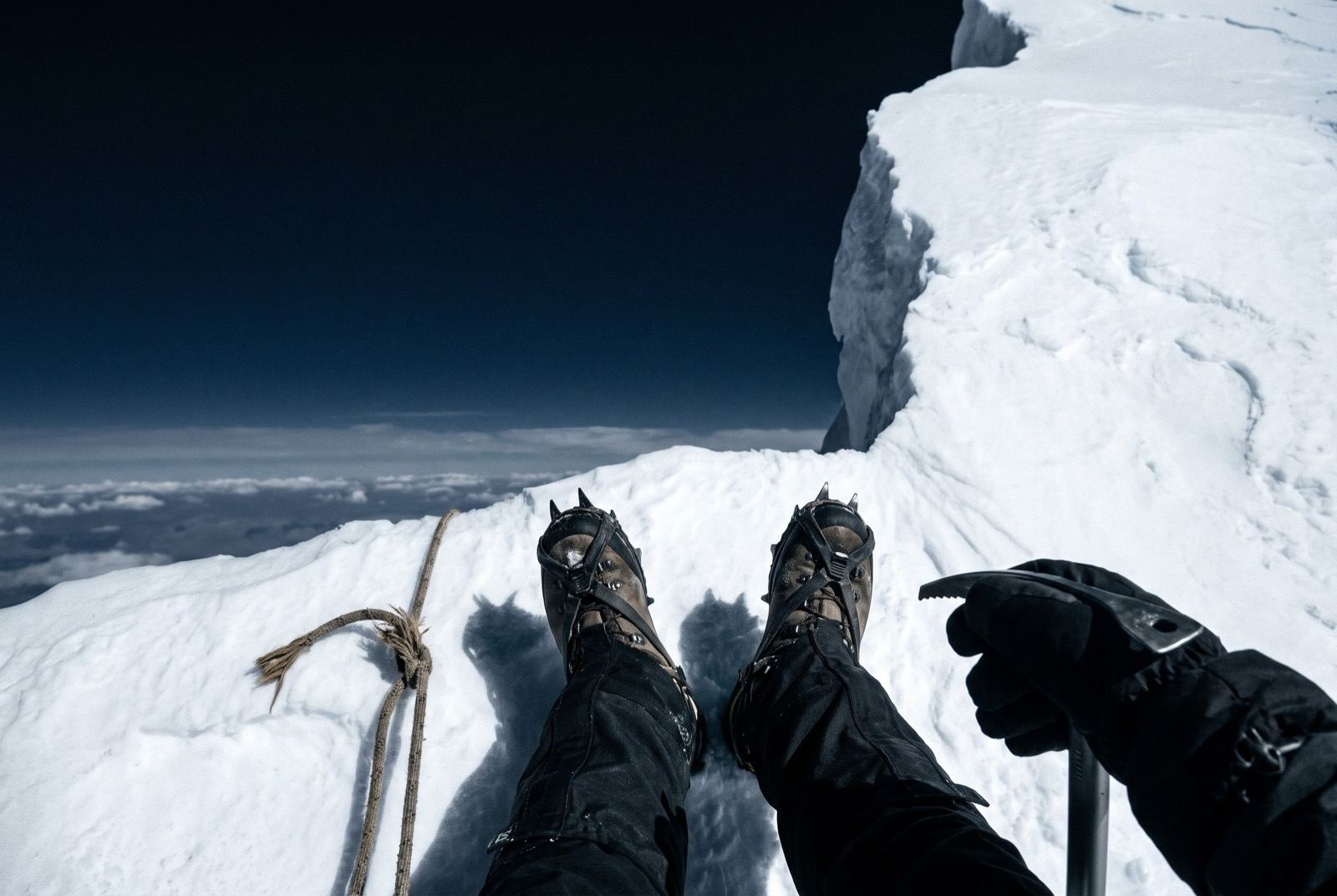
You leave the Col around ten at night. The Balcony at first light, the south summit, the Hillary Step, and then a ridge of snow that rises gently and simply stops, because there is nothing left on the planet that is higher than where you are standing.
What it takes out of you
You will want to stay up there and you must not. Turn around inside your window whether or not you have made it, because the entire point of the whole climb was learning to stop when stopping is correct rather than when it is comfortable.
Then go home. Six months later, on an ordinary Tuesday, somebody will be on day three of their twelve days and about to walk out, and you will be the only person alive who can tell them exactly what happens if they stay. That is step twelve. The mountain was just the qualification.
The logistics
- Duration
- 55–65 days
- Skill required
- 8,000 m experience
- Season
- Apr–May
The climb profile
Left, elevation only: no horizontal axis, so its width means nothing. Right, air: bar length is the one thing here that does.
Tinted: above 8,000 m, the death zone.
- Base camp
- South Base Camp, 5,364 msource
- Summit
- Summit, 8,849 msource
- Vertical, base camp to summit
- 3,485 mthe difference of the two elevations above, nothing more
- Horizontal distance
- Not yet sourcedNo operator route description, alpine club record or mountaineering reference we could find states it for this route. It is not estimated here.
- Cumulative ascent
- Not yet sourcedThe up-and-down of the whole route, which is more than the vertical above. Nobody publishes it for any of the twelve.
Camps, by elevation: Camp 1 5,943 m source · Camp 2, Western Cwm 6,400 m source · Camp 3, Lhotse Face 7,162 m source · Camp 4, South Col 7,986 m source. Where each one sits along the route is not sourced, so each is drawn as a rule across the chart rather than placed on it.
The 2020 joint China–Nepal survey put the summit at 8,848.86 m; 8,849 m is that rounded. Base camp sits on a moving glacier and is quoted at 5,364 m and 5,334 m. Alan Arnette publishes per-leg distances — base camp to Camp 1 is 1.62 miles, Camp 1 to Camp 2 is 1.74 — but states no total, and those legs do not reach the summit, so no distance is shown. You have already stood at this base camp: it is step 3.
The highest camp is Camp 4, South Col, 7,986 m, where the air is 37% of what it is at sea level. The tent was carried up there. The air was not.
The part we will not lie about
Everest kills people every season, including well-prepared ones with good weather and strong support — roughly one death for every hundred summits. The mountain has no interest in what the ascent means to you, and everybody who came home did so partly on luck.
Who you do it with
The last one. Everything you bought gets you as far as the Col; past that it is weather, oxygen and whether you go. He is not in the summit photograph. He is answerable for the fact that you came back down.
What the word means, and where it came from$2,400,000 at the plan's pace — $100,000 a month, charged monthly, for as long as it takes. All twelve steps. One client at a time.
Request a call