Yala Peak
Be graded honestly and say thank you
- Country
- NepalLangtang Valley, Nepal
- Duration
- 12–14 days incl. courseSeason Three
- Grade
- Technical 3AGet High scale
- Max altitude
- 5,520 m18,110 ft
- Daily activity
- Approx 6–8 hours, 12 on summit day
- Season
- Oct–Nov, Apr–May
- Skill required
- Basic mountaineering course
- Months on the plan
- One monthof 24 planned
When was the last time a person with nothing to gain from you told you the truth about your ability at something?
What you are walking into
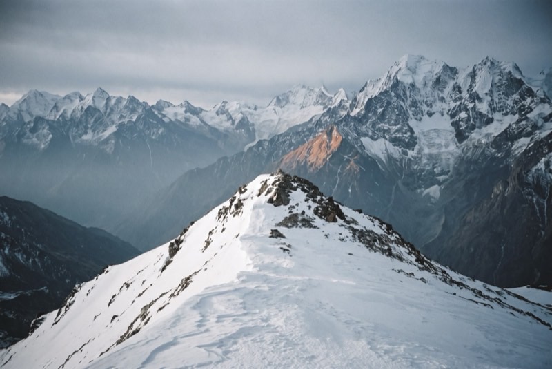
Yala is a straightforward snow peak four days from the nearest road, almost always climbed as the practical exam at the end of a basic mountaineering course. Nothing about it is hard, which is exactly the point: this is the right place to be obviously, publicly, unflatteringly bad at something new.
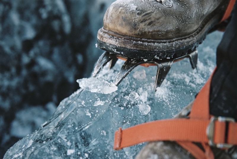
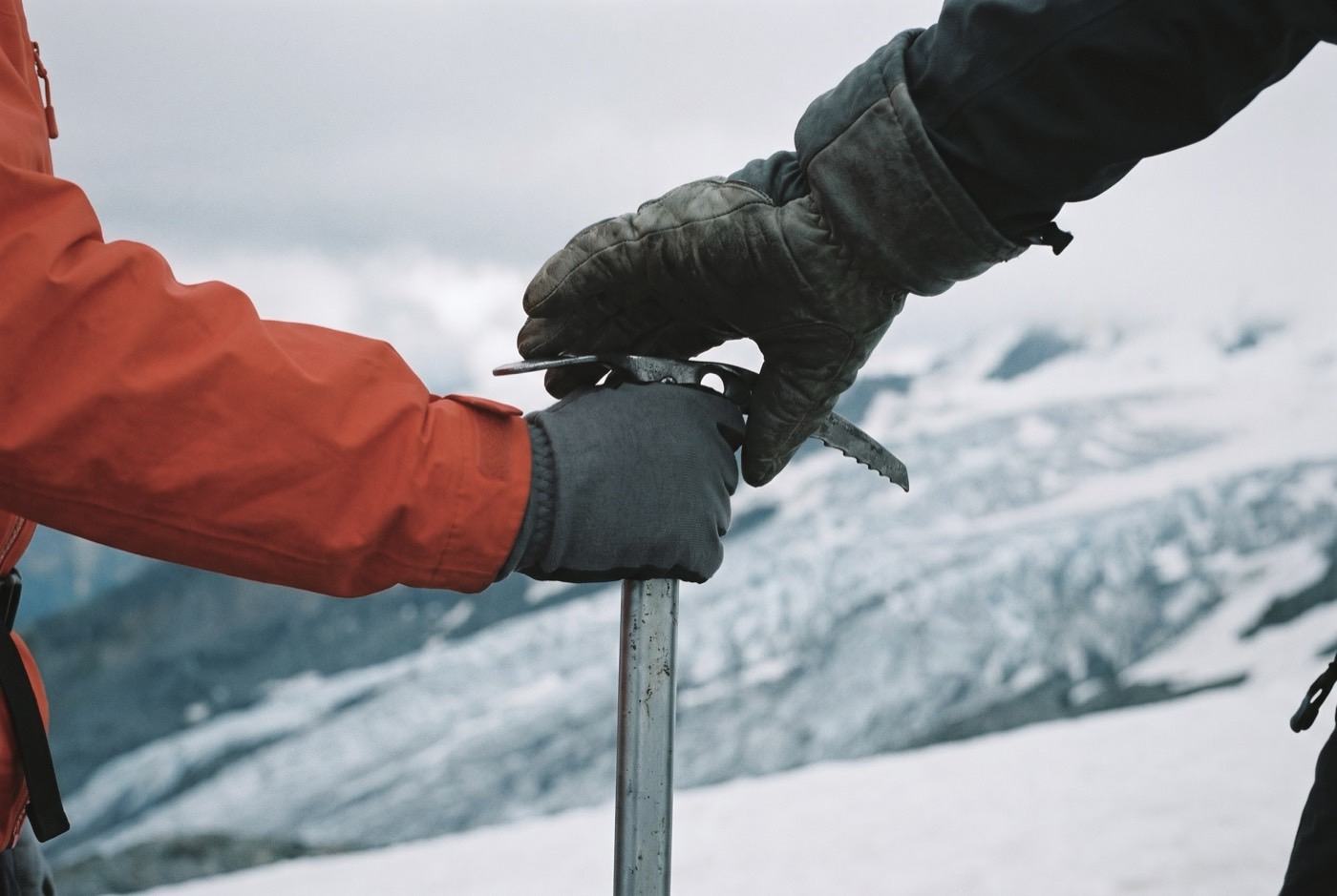
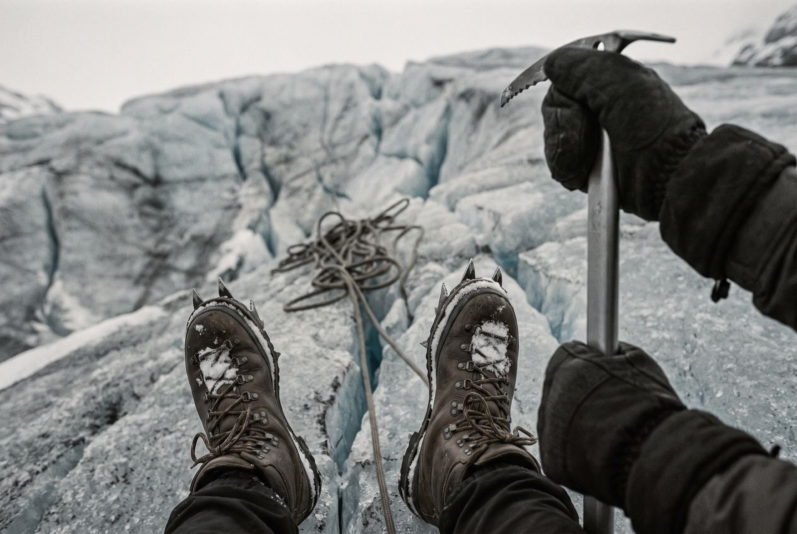
The days before the summit are spent on a training glacier — walking in crampons without shredding your own gaiters, holding an axe so that it still works once you are already falling, and stopping yourself on a slope while sliding backwards on your stomach, which is the position you will genuinely be in when it happens.
What it takes out of you
You have spent years surrounded by people whose income depends on your good mood. The summit is worth almost nothing next to the twelve days before it, in which a stranger grades you accurately and you do not fire him.
This is also the first thing on this list you will be able to do that you could not do before. Hold on to that. It has been a very long time since you learned anything.
The logistics
- Duration
- 12–14 days incl. course
- Skill required
- Basic mountaineering course
- Season
- Oct–Nov, Apr–May
The climb profile
Left, elevation only: no horizontal axis, so its width means nothing. Right, air: bar length is the one thing here that does.
- Base camp
- Yala Kharka base camp, 4,600 msource
- Summit
- Summit, 5,520 msource
- Vertical, base camp to summit
- 920 mthe difference of the two elevations above, nothing more
- Horizontal distance
- Not yet sourcedNo operator route description, alpine club record or mountaineering reference we could find states it for this route. It is not estimated here.
- Cumulative ascent
- Not yet sourcedThe up-and-down of the whole route, which is more than the vertical above. Nobody publishes it for any of the twelve.
The shakiest summit figure on the ladder. 5,520 m is the operator and database figure; Wikipedia says 5,500 m and Much Better Adventures says 5,550 m. No survey source was reachable. Distance is quoted as “9 kilometers in total” (which does not say one way) and as a 16 km summit day — nearly 2x apart, so neither is used.
The highest point is the summit, 5,520 m, where the air is 52% of what it is at sea level. Everything you carry gets there. The air does not.
The part we will not lie about
Take the course before the peak and treat it as the main event rather than a formality on the way to a photograph. Nepal, Chamonix, Scotland in winter — the venue matters far less than being assessed by somebody with nothing to sell you.
Who you do it with
Your first summit, and the danger is that it goes well. A guide congratulates you. An elder brother tells you what it actually was — one small mountain, and eleven still in front of you.
What the word means, and where it came from$2,400,000 at the plan's pace — $100,000 a month, charged monthly, for as long as it takes. All twelve steps. One client at a time.
Request a call