Himlung Himal
Tell the truth about your own condition
- Country
- NepalPeri Himal, Manaslu region, Nepal
- Duration
- 28–32 daysSeason Four
- Grade
- Serious 4BGet High scale
- Max altitude
- 7,126 m23,379 ft
- Daily activity
- Approx 6–10 hours, 14 on summit day
- Season
- Sep–Oct, Apr–May
- Skill required
- Expedition rotations at altitude
- Months on the plan
- Two monthsof 24 planned
Summit fever is not courage. It is a man declining to give an accurate account of his own condition, which is a habit you have had for a very long time.
What you are walking into
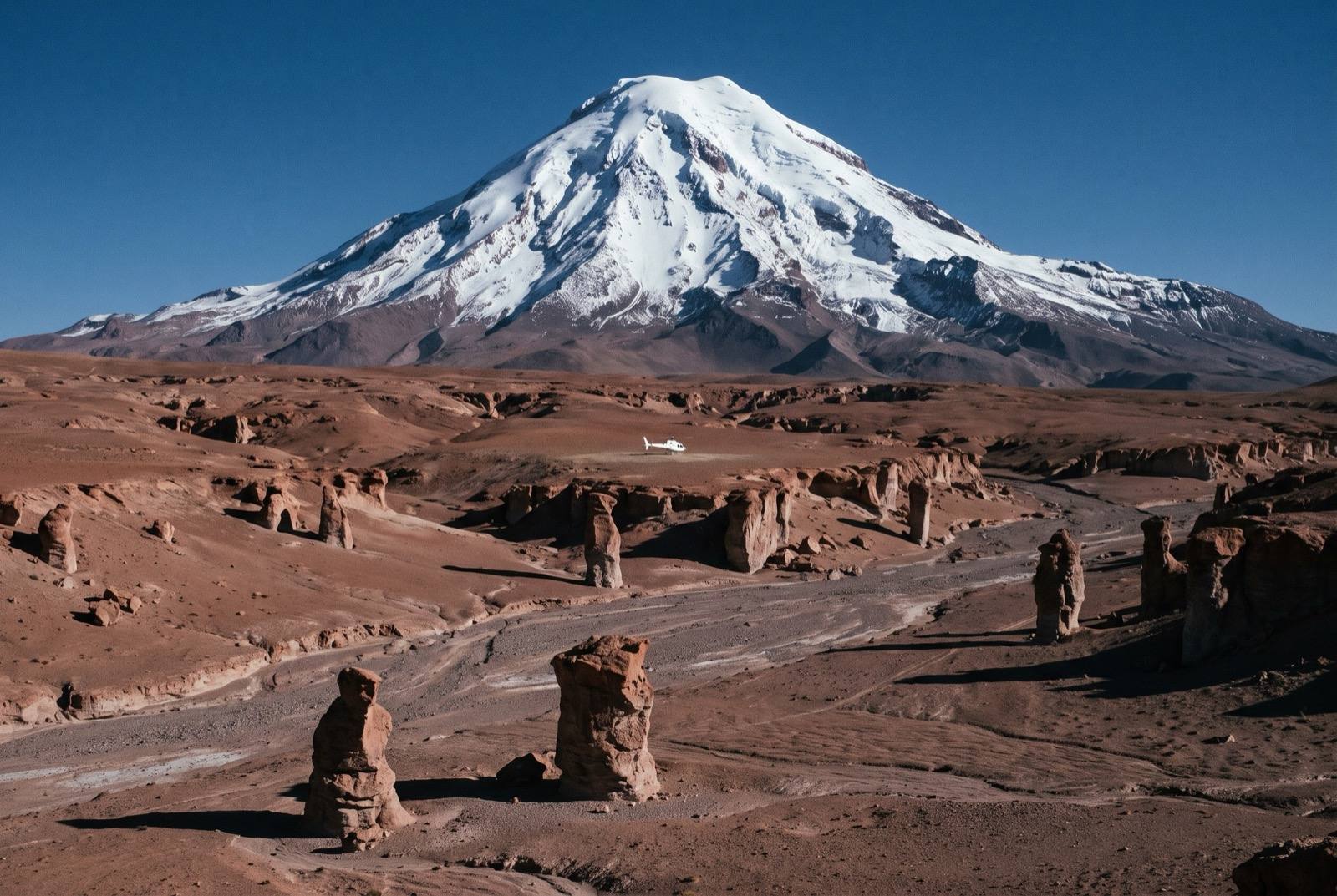
Himlung sits north of Manaslu near the Tibetan border, reached through the Nar Phu valleys and some of the least-visited villages in the country. The route is a moderate glaciated line with three camps — exactly what a first 7,000er ought to be.
What is new is the duration. Up to Camp 2, back down, three days of nothing at all, up again. The mountain is climbed by whichever version of you can run that cycle for a month without losing patience or condition.
What it takes out of you
Every expedition doctor runs the same checks: pulse, saturation, appetite, sleep, cough, honesty. Only the last one cannot be measured and it is the one that kills people.
You will want to under-report a headache because you have come a long way and it is expensive and you have told everyone you are doing this. That instinct — hide the symptom, protect the story — is the exact instinct that put you in a clinic. Here it has a body count.
The logistics
- Duration
- 28–32 days
- Skill required
- Expedition rotations at altitude
- Season
- Sep–Oct, Apr–May
The climb profile
Left, elevation only: no horizontal axis, so its width means nothing. Right, air: bar length is the one thing here that does.
- Base camp
- Base Camp, 4,800 msource
- Summit
- Summit, 7,126 msource
- Vertical, base camp to summit
- 2,326 mthe difference of the two elevations above, nothing more
- Horizontal distance
- Not yet sourcedNo operator route description, alpine club record or mountaineering reference we could find states it for this route. It is not estimated here.
- Cumulative ascent
- Not yet sourcedThe up-and-down of the whole route, which is more than the vertical above. Nobody publishes it for any of the twelve.
Camps, by elevation: Camp 1 5,400 m source · Camp 2 6,000 m source · Camp 3 6,300 m source. Where each one sits along the route is not sourced, so each is drawn as a rule across the chart rather than placed on it.
The 7,140 m figure that circulates for Himlung is not a rival survey of this mountain — it belongs to Nemjung, about 4 km north, after the Nepalese government moved the traditional name. 7,126 m is correct. Base camp is quoted at 4,800 m and 4,842 m; camps 1 and 3 vary by 50 m between operators.
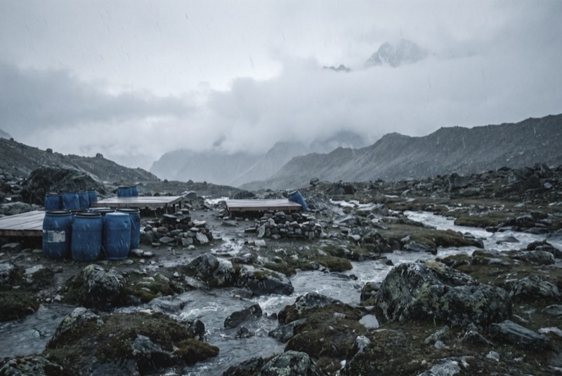
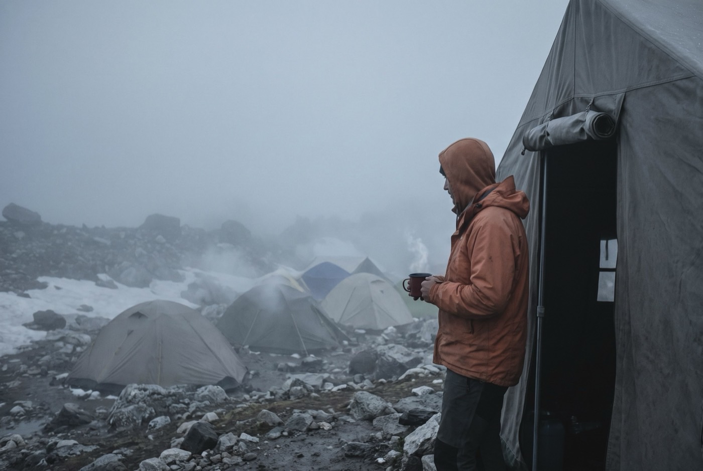
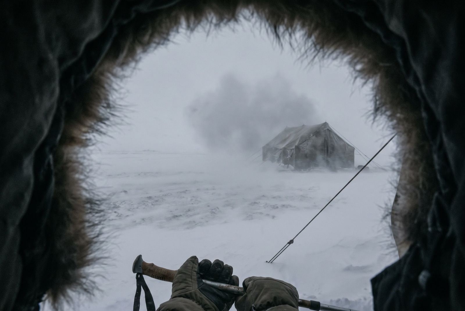
The highest camp is Camp 3, 6,300 m, where the air is 47% of what it is at sea level. The tent was carried up there. The air was not.
The part we will not lie about
At 7,000 m your judgement degrades before you can notice it degrading. That is physiology rather than character, and the only real defence is a team with standing permission to overrule you and the willingness to use it.
Who you do it with
Seven thousand metres, remote, and dull. The novelty has gone and the summit is still four steps away. This is the month people quit — not on a mountain, in an airport, with a good reason.
What the word means, and where it came from$2,400,000 at the plan's pace — $100,000 a month, charged monthly, for as long as it takes. All twelve steps. One client at a time.
Request a call